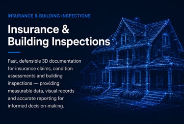
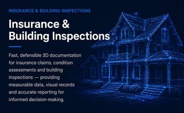
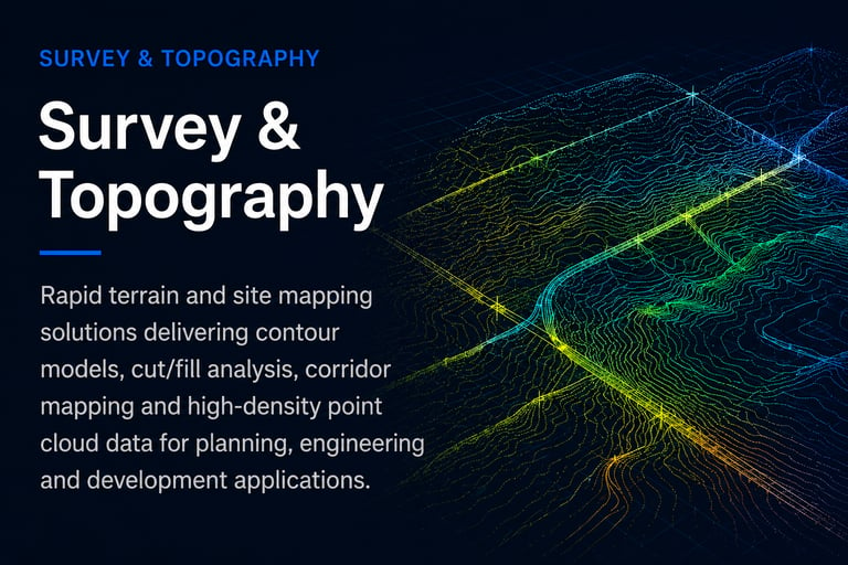
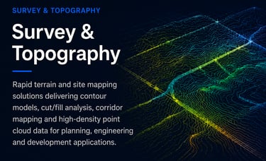
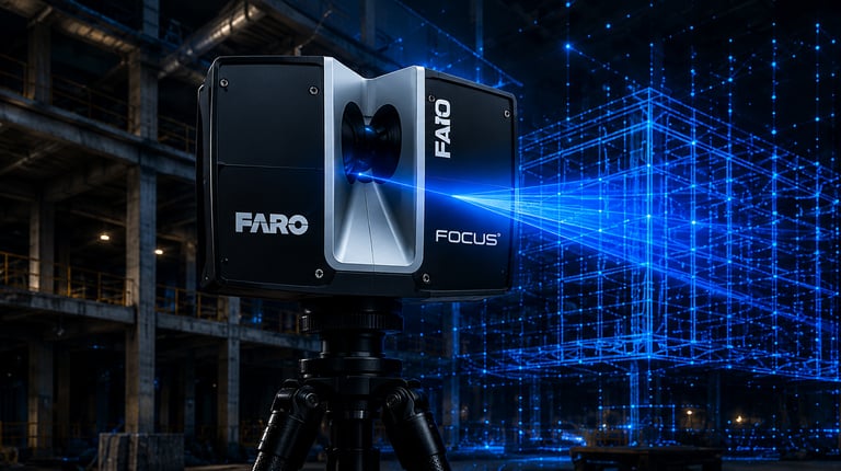
ACCURATE. RELIABLE. DOCUMENTED.
Advanced
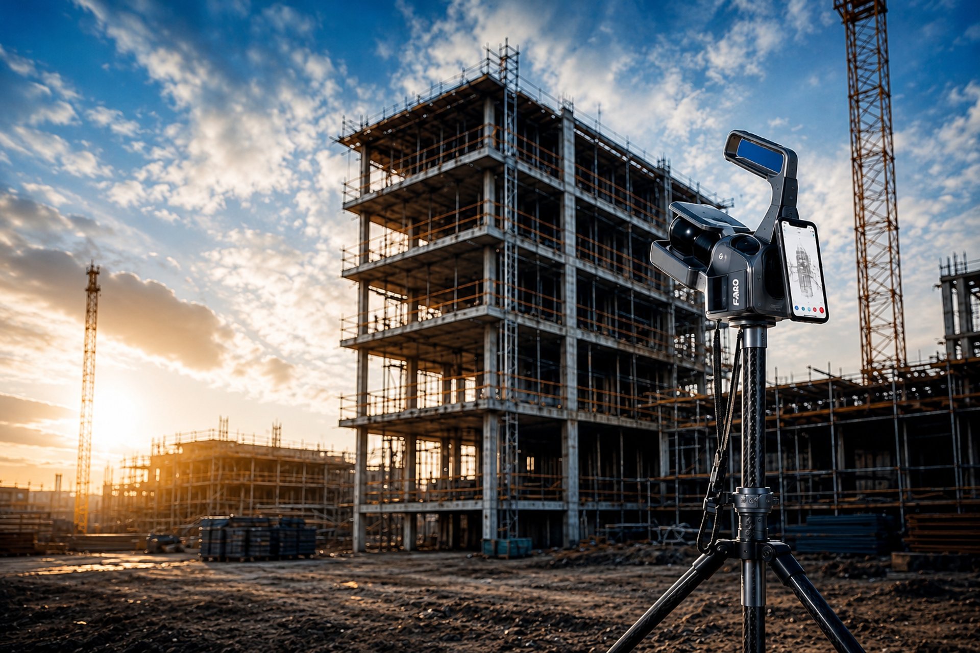
3D LiDAR Scanning
We capture millions of data points with millimetre accuracy to deliver reliable digital documentation for construction, renovation and infrastructure proiects.
& Digital Solutions
MILLIONS
OF DATA POINTS
CAPTURED

MILLIMETRE
ACCURATE
DOCUMENTATION
RESIDENTIAL
& COMMERCIAL
PROJECTS

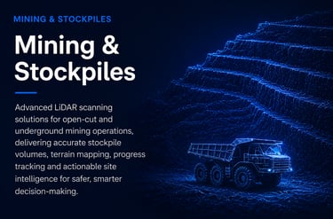
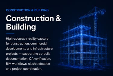
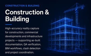
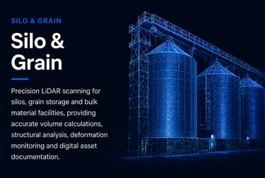

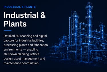
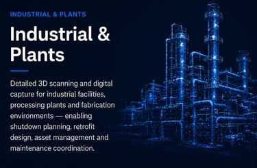
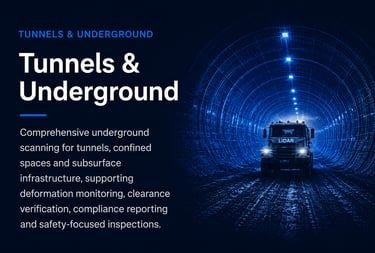
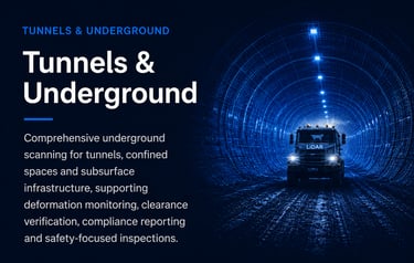
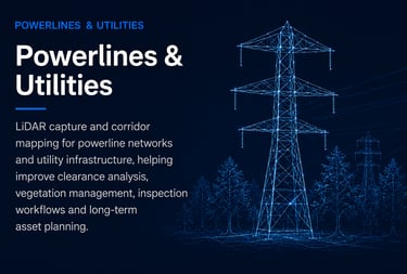
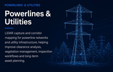
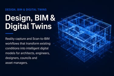
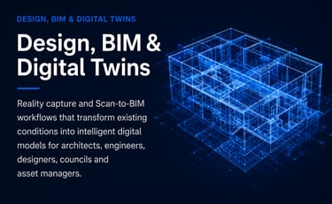
OUR SERVICES
Comprehensive Scanning
& Digital Solutions
OUR PROCESS
Four steps. One permanent record.
Step 01
Step 02
Step 03
Step 04
Scan Site
Capture Data
Create Digital Twin
Deliver Documentation
Point cloud data is modelled into a structured digital twin — BIM, CAD and compliance layers derived from coordinates, not assumptions.
Formatted deliverables — as-built drawings, BIM models, compliance reports — handed to you as the permanent, legally defensible project record.
LiDAR instruments capture every surface, void and structural element at millimetre-level precision across the full site.
Raw scan data is registered and cleaned into a verified, geo-referenced point cloud — the unambiguous record of site conditions.
WHY CHOOSE SCANBUILD ?
Technology That Delivers Results You Can Trust.
We combine advanced LiDAR technology, industry expertise and a commitment to quality to deliver exceptional results on every project.
1. Millimetre-Level Accuracy
2. Industry-Leading LiDAR Technology
3. Fast Turnaround & Reliable Deliverables
4. Built by Builders, Designed for Construction
5. End-to-End Scanning and Modeling Solutions
6. Safety, Quality & Confidentiality Guaranteed
Your next build deserves a permanent record.
Newcastle, Hunter, Central Coast and Sydney. One scan. No guesswork. Book a site scan and have immutable as-built documentation from day one.
Follow us
+61 407 923 777
steve@scanbuild.com.au
Newcastle | Hunter | Central Coast | Sydney
© 2026 ScanBuild. All Rights Reserved. | Privacy Policy | Terms & Conditions

Peace of Mind.
REACH US